File:Angola location map.svg

Size of this PNG preview of this SVG file: Amachashazikazi ama-547 adlulayo nama-600 amile. Other resolutions: Amachashazikazi ama-219 adlulayo nama-240 amile | Amachashazikazi ama-438 adlulayo nama-480 amile | Amachashazikazi ama-700 adlulayo nama-768 amile | Amachashazikazi ama-934 adlulayo nama-1,024 amile | Amachashazikazi ama-1,868 adlulayo nama-2,048 amile | Amachashazikazi ama-1,266 adlulayo nama-1,388 amile.
Ifayela ewu ngqo (SVG file, nominally 1,266 × 1,388 pixels, file size: 478 KB)
Isifinyezo
| Incazelo |
Deutsch: Positionskarte von Angola
Quadratische Plattkarte, N-S-Streckung 102 %. Geographische Begrenzung der Karte:
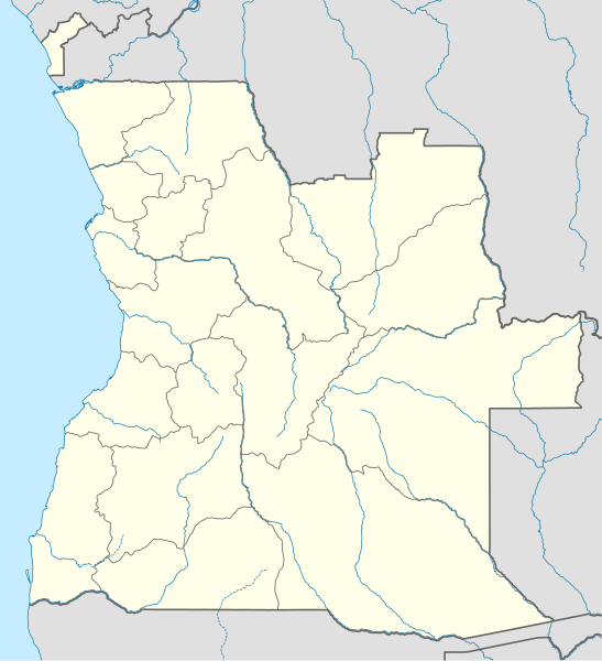
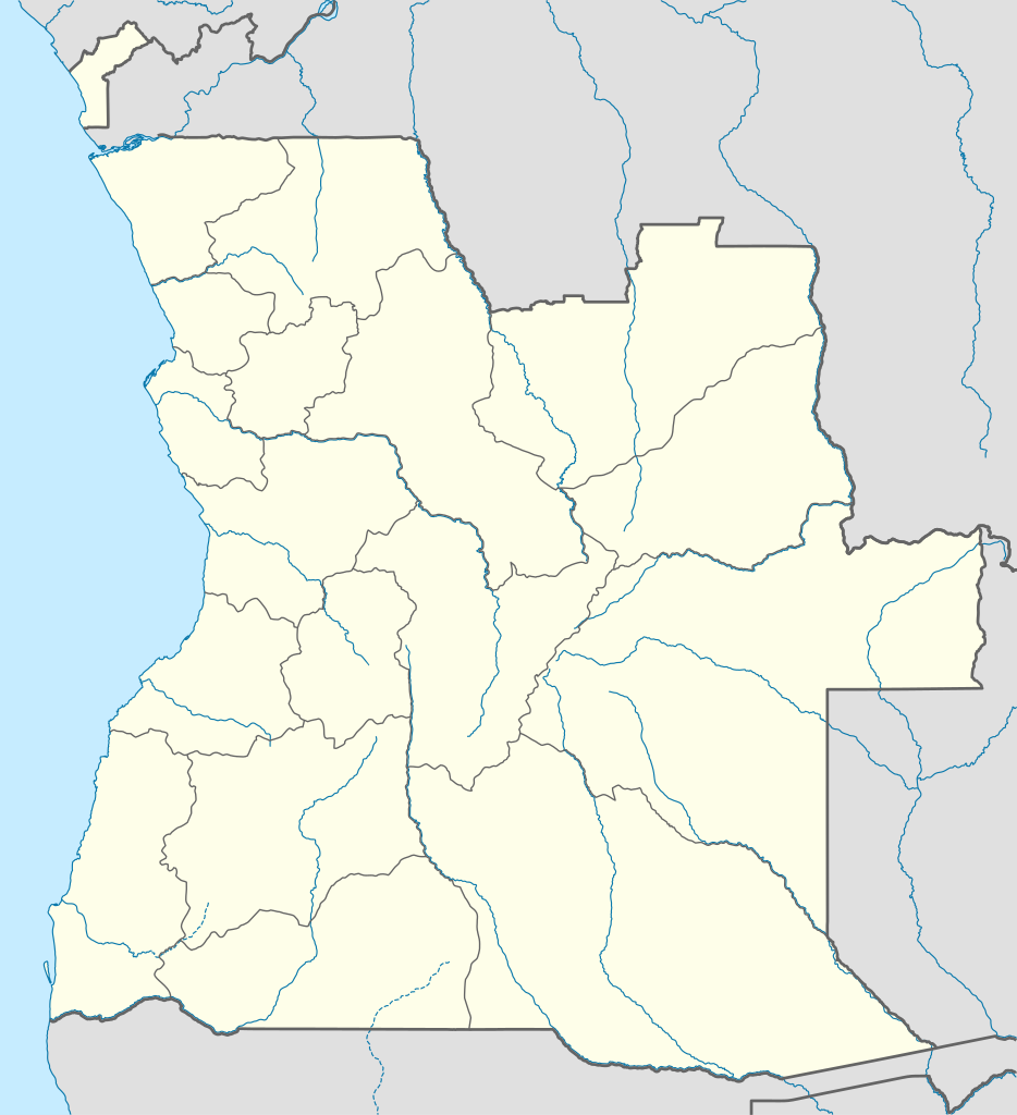
English: Location map of Angola
Equirectangular projection, N/S stretching 102 %. Geographic limits of the map:
|
||
| Usuku | |||
| Umthombo |
Own work, using
|
||
| Umlobi | NordNordWest | ||
| Permission (Reusing this file) |
I, the copyright holder of this work, hereby publish it under the following license: This file is licensed under the Creative Commons Attribution-Share Alike 3.0 Unported license.
|
||
| SVG genesis | This map was created with unknown tool.
|

Umlando womqulu
Click on a date/time to view the file as it appeared at that time.
| Usuku/Isikhathi | Isithonjana | Dimensions | Umsebenzisi | Amazwana | |
|---|---|---|---|---|---|
| Njengamanje | 18:15, 21 uNcwaba 2019 | | 1,266 × 1,388 (478 KB) | Hallel | Inclusão de novo mapa com as alterações territoriais das províncias do Bengo e Luanda |
| 17:35, 20 uMfumfu 2009 |  | 1,266 × 1,388 (478 KB) | NordNordWest | =={{int:filedesc}}== {{Information |Description= {{de|Positionskarte von Angola}} Quadratische Plattkarte, N-S-Streckung 102 %. Geographische Begrenzung der Karte: * N: 4.1° S * S: 18.5° S * W: 11.1° O * O: 24.5° O {{en|Location map of |
Ukusetshenziswa komqulu
More than 100 pages use this file. The following list shows the first 100 pages that use this file only. A full list is available.
- Ambaca
- Ambriz
- Andulo
- Bailundo
- Balombo
- Banga, Angola
- Baía Farta
- Belas, Luanda
- Benguela
- Bocoio
- Bolongongo
- Buco-Zau
- Bula Atumba
- Cabinda
- Caconda
- Cacongo
- Cacuaco
- Cahama
- Caimbambo
- Calai
- Caluquembe
- Camacupa
- Cambambe
- Cambulo
- Canata, Lobito
- Capenda-Camulemba
- Cassongue
- Catabola
- Catumbela
- Caungula
- Caxito
- Cazengo
- Caála
- Cela, Angola
- Chiange, Angola
- Chibia
- Chicomba
- Chinguar
- Chipindo
- Chitato
- Chitembo
- Chongorói
- Conda, Angola
- Cuangar
- Cuanhama
- Cuchi
- Cuemba
- Cuito Cuanavale
- Cunhinga
- Cuvelai
- Cuíto
- Dande
- Dembos
- Dirico
- Ebo, Angola
- Ekunha
- Gambos
- Ganda, Angola
- Golungo Alto
- Huambo
- Humpata
- Jamba, Huíla
- Katchiungo
- Kuvango
- Libolo
- Lobito
- Londuimbali
- Longonjo
- Luanda
- Lubango
- Lucala
- Matala, Angola
- Mavinga
- Menongue
- Mungo, Angola
- Mussende
- N'dalatando
- N'harea
- Namacunde
- Nambuangongo
- Nancova
- Ngonguembo
- Ombadja
- Ondjiva
- Pango Aluquém
- Porto Amboim
- Quibala
- Quiculungo
- Quilenda
- Quilengues
- Quipungo
- Quiçama
- Rivungo
- Samba Cajú
- Seles, Angola
- Sumbe, Angola
- Tchicala Tcholohanga
- Tchindjenje
- Uaco Cungo
- Ukuma, Angola
View more links to this file.
Ukusetshenziswa komqulu jikelele
Amanye ama-wiki asebenzisa lefayela
- Ukusetshenziswa ku-af.wikipedia.org
- Ukusetshenziswa ku-am.wikipedia.org
- Ukusetshenziswa ku-an.wikipedia.org
- Ukusetshenziswa ku-ar.wikipedia.org
- Ukusetshenziswa ku-ast.wikipedia.org
- Luanda
- Ríu Congu
- Bolongongo
- Londuimbale
- N'Zeto
- Lubalo
- África Central
- Lubango
- Área de caltenimientu Kavango-Zambeze
- Ríu Zambeze
- Morro do Moco
- Benguela
- Módulu:Mapa de llocalización/datos/Angola
- Módulu:Mapa de llocalización/datos/Angola/usu
- Aeropuertu Internacional Quatro de Fevereiro
- Aeropuertu de Benguela
- Aeropuertu de Cabinda
- Aeropuertu de Kuito
- Lobito
- Ukusetshenziswa ku-azb.wikipedia.org
View more global usage of this file.