File:Bridge over Rio Lurio EN1 road (3911465523).jpg

Size of this preview: Amachashazikazi ama-800 adlulayo nama-535 amile. Other resolutions: Amachashazikazi ama-320 adlulayo nama-214 amile | Amachashazikazi ama-640 adlulayo nama-428 amile | Amachashazikazi ama-1,024 adlulayo nama-685 amile | Amachashazikazi ama-1,280 adlulayo nama-857 amile | Amachashazikazi ama-2,560 adlulayo nama-1,713 amile | Amachashazikazi ama-3,634 adlulayo nama-2,432 amile.
Ifayela ewu ngqo (3,634 × 2,432 pixels, file size: 3.57 MB, MIME type: image/jpeg)
.jpg)
Isifinyezo
| Incazelo |
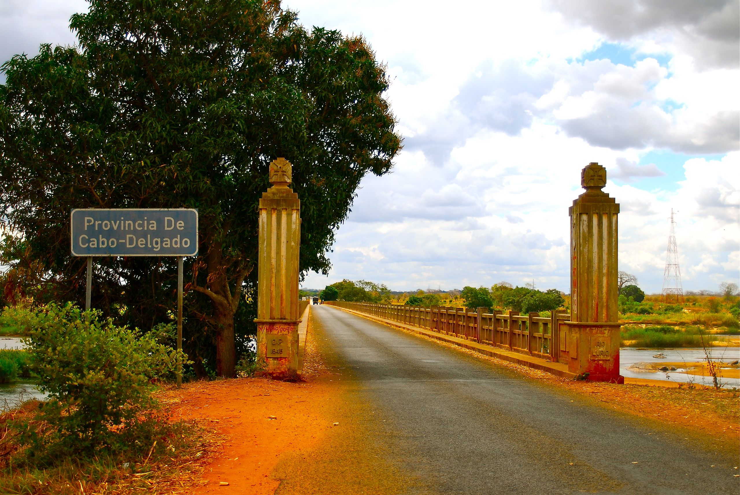
English: EN1 road bridge over Rio Lúrio, border between Nampula and Cabo Delgado provnices, Mozambique Deutsch: Brücke der Fernstraße EN1 über den Rio Lúrio, Grenze zwischen den Provinzen Cabo Delgado und Nampula, Mosambik Português: Ponte da Estrada Nacional EN1 sobre o rio Lúrio, fronteira entre as províncias Cabo Delgado e Nampula, Moçambique |
| Usuku | |
| Umthombo | Signs of an old empire |
| Umlobi | F Mira from Lisbon, Portugal |
| Camera location | | View this and other nearby images on: OpenStreetMap |
|---|
.jpg¶ms=-13.677512_N_0039.841146_E_globe:Earth_type:camera_source:Flickr_&language=zu)
Licensing
This file is licensed under the Creative Commons Attribution-Share Alike 2.0 Generic license.
- Ukhululekile:
- ukwabelana – to copy, distribute and transmit the work
- to remix – to adapt the work
- Ngaphansi kwezimo ezilandelayo:
- attribution – You must give appropriate credit, provide a link to the license, and indicate if changes were made. You may do so in any reasonable manner, but not in any way that suggests the licensor endorses you or your use.
- yabelana ngokufana – If you remix, transform, or build upon the material, you must distribute your contributions under the same or compatible license as the original.
| This image was originally posted to Flickr by F H Mira at https://www.flickr.com/photos/25894583@N08/3911465523. It was reviewed on 13 uMfumfu 2014 by FlickreviewR and was confirmed to be licensed under the terms of the cc-by-sa-2.0. |
Umlando womqulu
Click on a date/time to view the file as it appeared at that time.
| Usuku/Isikhathi | Isithonjana | Dimensions | Umsebenzisi | Amazwana | |
|---|---|---|---|---|---|
| Njengamanje | 10:21, 13 uMfumfu 2014 | | 3,634 × 2,432 (3.57 MB) | Jcornelius | Transferred from Flickr via Flickr2commons |
Ukusetshenziswa komqulu
The following 2 pages use this file:
Ukusetshenziswa komqulu jikelele
Amanye ama-wiki asebenzisa lefayela
- Ukusetshenziswa ku-ar.wikipedia.org
- Ukusetshenziswa ku-ca.wikipedia.org
- Ukusetshenziswa ku-ceb.wikipedia.org
- Ukusetshenziswa ku-en.wikipedia.org
- Ukusetshenziswa ku-eo.wikipedia.org
- Ukusetshenziswa ku-es.wikipedia.org
- Ukusetshenziswa ku-eu.wikipedia.org
- Ukusetshenziswa ku-fa.wikipedia.org
- Ukusetshenziswa ku-fi.wikipedia.org
- Ukusetshenziswa ku-frr.wikipedia.org
- Ukusetshenziswa ku-ha.wikipedia.org
- Ukusetshenziswa ku-ig.wikipedia.org
- Ukusetshenziswa ku-ja.wikipedia.org
- Ukusetshenziswa ku-ka.wikipedia.org
- Ukusetshenziswa ku-ml.wikipedia.org
- Ukusetshenziswa ku-no.wikipedia.org
- Ukusetshenziswa ku-pl.wikipedia.org
- Ukusetshenziswa ku-ro.wikipedia.org
- Ukusetshenziswa ku-ru.wikipedia.org
- Ukusetshenziswa ku-simple.wikipedia.org
- Ukusetshenziswa ku-sv.wikipedia.org
- Ukusetshenziswa ku-ts.wikipedia.org
- Ukusetshenziswa ku-uk.wikipedia.org
- Ukusetshenziswa ku-ur.wikipedia.org
- Ukusetshenziswa ku-www.wikidata.org
- Ukusetshenziswa ku-wuu.wikipedia.org
- Ukusetshenziswa ku-yo.wikipedia.org
- Ukusetshenziswa ku-zh-min-nan.wikipedia.org
- Ukusetshenziswa ku-zh.wikipedia.org
.jpg)