File:Kenya relief location map.jpg

Size of this preview: Amachashazikazi ama-545 adlulayo nama-600 amile. Other resolutions: Amachashazikazi ama-218 adlulayo nama-240 amile | Amachashazikazi ama-436 adlulayo nama-480 amile | Amachashazikazi ama-1,000 adlulayo nama-1,100 amile.
Ifayela ewu ngqo (1,000 × 1,100 pixels, file size: 860 KB, MIME type: image/jpeg)
Isifinyezo
| Incazelo |
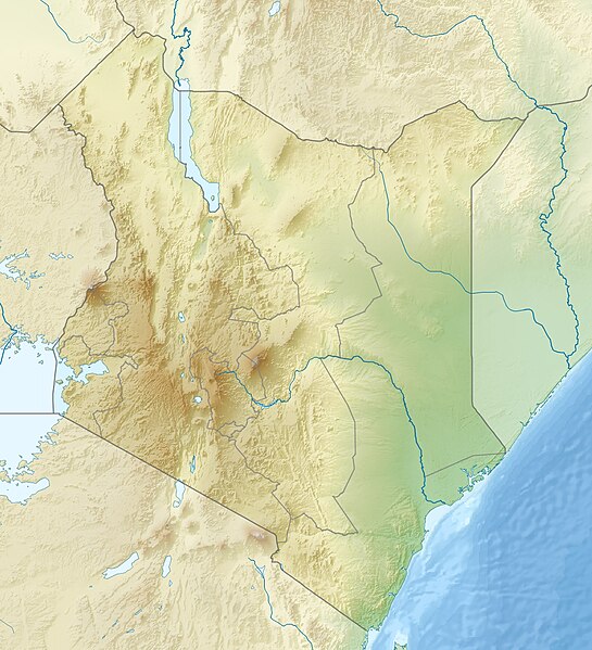
English: Location map of Kenya
Equirectangular projection. Strechted by 100.0%. Geographic limits of the map:
|
| Usuku | |
| Umthombo | Own work |
| Umlobi | Uwe Dedering |
| Other versions |
|

Licensing
I, the copyright holder of this work, hereby publish it under the following licenses:
This file is licensed under the Creative Commons Attribution-Share Alike 3.0 Unported license.
- Ukhululekile:
- ukwabelana – to copy, distribute and transmit the work
- to remix – to adapt the work
- Ngaphansi kwezimo ezilandelayo:
- attribution – You must give appropriate credit, provide a link to the license, and indicate if changes were made. You may do so in any reasonable manner, but not in any way that suggests the licensor endorses you or your use.
- yabelana ngokufana – If you remix, transform, or build upon the material, you must distribute your contributions under the same or compatible license as the original.

|
Permission is granted to copy, distribute and/or modify this document under the terms of the GNU Free Documentation License, Version 1.2 or any later version published by the Free Software Foundation; with no Invariant Sections, no Front-Cover Texts, and no Back-Cover Texts. A copy of the license is included in the section entitled GNU Free Documentation License. |
You may select the license of your choice.
Umlando womqulu
Click on a date/time to view the file as it appeared at that time.
| Usuku/Isikhathi | Isithonjana | Dimensions | Umsebenzisi | Amazwana | |
|---|---|---|---|---|---|
| Njengamanje | 11:41, 24 uMbasa 2010 | | 1,000 × 1,100 (860 KB) | Uwe Dedering | {{Information |Description={{en|1=|Location map of Kenya Equirectangular projection. Strechted by 100.0%. Geographic limits of the map: * N: 6.0° N * S: -5.0° N * W: 33.0° E * E: 43.0° E Made with Natural Earth. Free vector and raster map data @ natur |
Ukusetshenziswa komqulu
The following page uses this file:
Ukusetshenziswa komqulu jikelele
Amanye ama-wiki asebenzisa lefayela
- Ukusetshenziswa ku-als.wikipedia.org
- Ukusetshenziswa ku-ar.wikipedia.org
- Ukusetshenziswa ku-arz.wikipedia.org
- Ukusetshenziswa ku-azb.wikipedia.org
- Ukusetshenziswa ku-az.wikipedia.org
- Ukusetshenziswa ku-ban.wikipedia.org
- Ukusetshenziswa ku-ba.wikipedia.org
- Ukusetshenziswa ku-be.wikipedia.org
- Ukusetshenziswa ku-bg.wikipedia.org
View more global usage of this file.