File:Namibia location map.svg

Size of this PNG preview of this SVG file: Amachashazikazi ama-623 adlulayo nama-600 amile. Other resolutions: Amachashazikazi ama-249 adlulayo nama-240 amile | Amachashazikazi ama-498 adlulayo nama-480 amile | Amachashazikazi ama-797 adlulayo nama-768 amile | Amachashazikazi ama-1,063 adlulayo nama-1,024 amile | Amachashazikazi ama-2,127 adlulayo nama-2,048 amile | Amachashazikazi ama-1,300 adlulayo nama-1,252 amile.
Ifayela ewu ngqo (SVG file, nominally 1,300 × 1,252 pixels, file size: 196 KB)
Isifinyezo
| Incazelo |
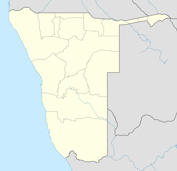
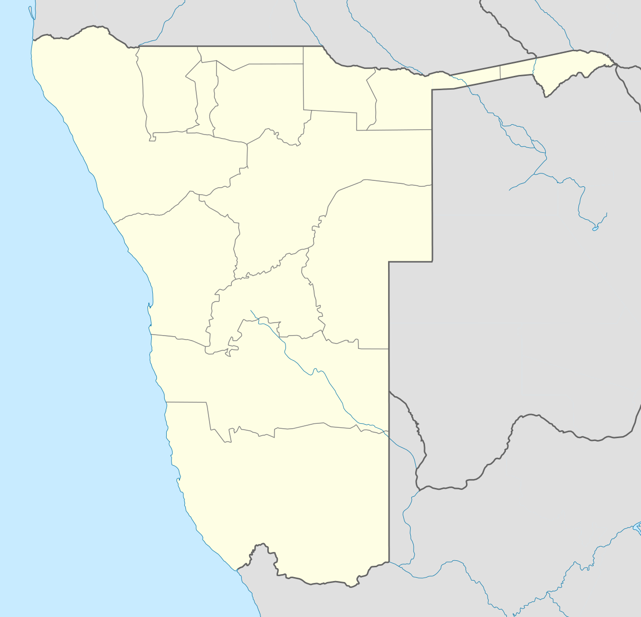
Deutsch: Location map of Namibia
Equirectangular projection. Strechted by 108.0%. Geographic limits of the map:
|
| Usuku | |
| Umthombo | Own work |
| Umlobi | Uwe Dedering |
| Other versions |
|

Licensing
Uwe Dedering at isi-German Wikipedia, the copyright holder of this work, hereby publishes it under the following licenses:

|
Permission is granted to copy, distribute and/or modify this document under the terms of the GNU Free Documentation License, Version 1.2 or any later version published by the Free Software Foundation; with no Invariant Sections, no Front-Cover Texts, and no Back-Cover Texts. A copy of the license is included in the section entitled GNU Free Documentation License. |
This file is licensed under the Creative Commons Attribution-Share Alike 3.0 Unported license.
Attribution: Uwe Dedering at isi-German Wikipedia
- Ukhululekile:
- ukwabelana – to copy, distribute and transmit the work
- to remix – to adapt the work
- Ngaphansi kwezimo ezilandelayo:
- attribution – You must give appropriate credit, provide a link to the license, and indicate if changes were made. You may do so in any reasonable manner, but not in any way that suggests the licensor endorses you or your use.
- yabelana ngokufana – If you remix, transform, or build upon the material, you must distribute your contributions under the same or compatible license as the original.
This file is licensed under the Creative Commons Attribution-Share Alike 3.0 Germany license.
Attribution: Uwe Dedering at isi-German Wikipedia
- Ukhululekile:
- ukwabelana – to copy, distribute and transmit the work
- to remix – to adapt the work
- Ngaphansi kwezimo ezilandelayo:
- attribution – You must give appropriate credit, provide a link to the license, and indicate if changes were made. You may do so in any reasonable manner, but not in any way that suggests the licensor endorses you or your use.
- yabelana ngokufana – If you remix, transform, or build upon the material, you must distribute your contributions under the same or compatible license as the original.

You may select the license of your choice.
Original upload log
Transferred from de.wikipedia to Commons by Uwe Dedering.
The original description page was here. All following user names refer to de.wikipedia.
- 2010-02-16 11:11 Uwe Dedering 1300×1252× (303033 bytes) {{Information |Beschreibung = Location map of Namibia Equirectangular projection. Strechted by 108.0%. Geographic limits of the map: * N: -16.0° N * S: -29.0° N * W: 11.0° E * E: 25.0° E Made with Natural Earth. Free vector and raster map data
Umlando womqulu
Click on a date/time to view the file as it appeared at that time.
| Usuku/Isikhathi | Isithonjana | Dimensions | Umsebenzisi | Amazwana | |
|---|---|---|---|---|---|
| Njengamanje | 18:57, 12 uMfumfu 2013 | | 1,300 × 1,252 (196 KB) | NordNordWest | upd |
| 21:50, 16 uNhlolanja 2010 |  | 1,300 × 1,252 (296 KB) | Uwe Dedering | {{Information |Description={{de|Location map of Namibia Equirectangular projection. Strechted by 108.0%. Geographic limits of the map: * N: -16.4° N * S: -29.6° N * W: 11.0° E * E: 25.8° E Made with Natural Earth. Free vector and raster map data @ nat |
Ukusetshenziswa komqulu
More than 100 pages use this file. The following list shows the first 100 pages that use this file only. A full list is available.
- Anamulenge
- Andara
- Arandis, Namibhiya
- Aranos
- Aroab
- Bagani, Namibhiya
- Berseba
- Bethanie, Namibhiya
- Bukalo
- Chinchimane
- Divundu
- Diyogha
- Edundja
- Eenhana
- Eheke
- Elim, Namibhiya
- Epinga
- Epuku
- Etomba
- Fransfontein
- Gibeon, Namibhiya
- Gobabis
- Gochas
- Grootfontein
- Helao Nafidi
- Henties Bay
- Ibbu, Namibhiya
- Kahenge
- Kaisosi
- Kalkrand
- Kamanjab
- Kangongo, Namibhiya
- Karasburg
- Karibib
- Katima Mulilo
- Keetmanshoop
- Khorixas
- King Kauluma Village
- Koës
- Leonardville, Namibhiya
- Luhonono
- Lüderitz
- Maltahöhe
- Mariental, Namibhiya
- Mile 30
- Mpungu
- Mupini
- Nkurenkuru
- Nyangana
- Odibo
- Okahandja
- Okahao
- Okakarara
- Okalongo
- Okatana, Namibhiya
- Okauva
- Okongo
- Olukonda
- Olupandu
- Omagongati
- Omaruru, Namibhiya
- Omuthiya
- Onamungundo
- Onamunhama
- Onayena
- Ondangwa
- Ondobe Yomunghudi
- Onekwaya West
- Ongwediva
- Oniipa
- Oniiwe
- Opuwo
- Oranjemund
- Oshakati
- Oshakati, Ondobe
- Oshandi
- Oshigambo
- Oshikuku
- Oshindobe
- Oshivelo
- Otavi
- Otjinene
- Otjiwarongo
- Outapi
- Outjo
- Rehoboth, Namibhiya
- Ruacana
- Rundu
- Rupara
- Sesfontein
- Stampriet
- Swakopmund
- Tondoro
- Tsandi
- Tses
- Tsintsabis
- Tsumeb
- Usakos
- Uuvudhiya
- Walvis Bay
View more links to this file.
Ukusetshenziswa komqulu jikelele
Amanye ama-wiki asebenzisa lefayela
- Ukusetshenziswa ku-af.wikipedia.org
- Walvisbaai
- Oranjemund
- Karasburg
- Omaruru
- Karibib
- Usakos
- Otjiwarongo
- Keetmanshoop
- Olifantsrivier
- Mariental
- Maltahöhe
- Hentiesbaai
- Langstrand
- Grootfontein
- Vaalgras
- Rehoboth
- Rundu
- Gobabis
- Warmbad, Namibië
- Tsumeb
- Bethanie
- Otjimbingwe
- Seeheim
- Sjabloon:Liggingkaart Namibië
- Fransfontein
- Omuthiya
- Luhonono
- Namibwoestyn
- Noordoewer
- Arandis
- Aranos
- Kalkfeld
- Outjo
- Otavi
- Witvlei
- Oshakati
- Brukkaros
- Aus
- Asab
- Okahandja
- Suid-Afrikaanse Lugdiens-vlug 228
- Ramansdrift
- Hosea Kutako Internasionale Lughawe
- Windhoek Eros-lughawe
- Walvisbaai-lughawe
- Grootfonteinlughawe
- Katima Mulilo-lughawe
- Ondangwa
- Katima Mulilo
- Gochas
View more global usage of this file.