File:Sudan relief map.svg

Size of this PNG preview of this SVG file: Amachashazikazi ama-684 adlulayo nama-600 amile. Other resolutions: Amachashazikazi ama-274 adlulayo nama-240 amile | Amachashazikazi ama-548 adlulayo nama-480 amile | Amachashazikazi ama-876 adlulayo nama-768 amile | Amachashazikazi ama-1,168 adlulayo nama-1,024 amile | Amachashazikazi ama-2,336 adlulayo nama-2,048 amile | Amachashazikazi ama-1,654 adlulayo nama-1,450 amile.
Ifayela ewu ngqo (SVG file, nominally 1,654 × 1,450 pixels, file size: 2.09 MB)
Isifinyezo
| Incazelo |
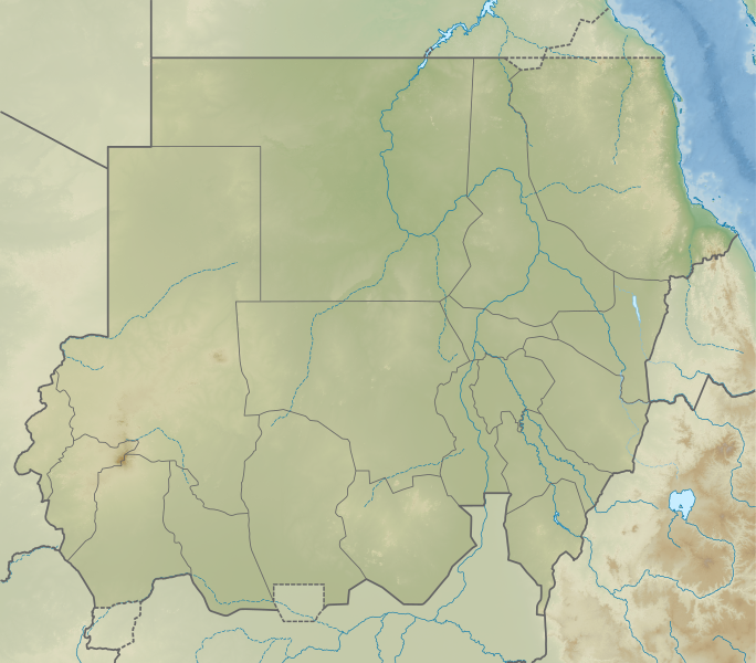
English: Relief map of Sudan. Elevation data from STRM30, bathymetry from GMRT, rivers/coastline from GSHHG. |
| Usuku | |
| Umthombo | Derivative of File:Sudan adm location map.svg |
| Umlobi | Own work based on User:NordNordWest |
Licensing
This file is licensed under the Creative Commons Attribution-Share Alike 3.0 Unported license.
- Ukhululekile:
- ukwabelana – to copy, distribute and transmit the work
- to remix – to adapt the work
- Ngaphansi kwezimo ezilandelayo:
- attribution – You must give appropriate credit, provide a link to the license, and indicate if changes were made. You may do so in any reasonable manner, but not in any way that suggests the licensor endorses you or your use.
- yabelana ngokufana – If you remix, transform, or build upon the material, you must distribute your contributions under the same or compatible license as the original.
Umlando womqulu
Click on a date/time to view the file as it appeared at that time.
| Usuku/Isikhathi | Isithonjana | Dimensions | Umsebenzisi | Amazwana | |
|---|---|---|---|---|---|
| Njengamanje | 04:23, 22 uLwezi 2020 | | 1,654 × 1,450 (2.09 MB) | C1MM | Fixed incorrectly-colored Eritrea-Ethiopia border |
| 04:21, 22 uLwezi 2020 |  | 1,654 × 1,450 (2.09 MB) | C1MM | Uploaded a work by Own work based on User:NordNordWest from Derivative of File:Sudan adm location map.svg with UploadWizard |
Ukusetshenziswa komqulu
The following page uses this file:
Ukusetshenziswa komqulu jikelele
Amanye ama-wiki asebenzisa lefayela
- Ukusetshenziswa ku-bg.wikipedia.org
- Ukusetshenziswa ku-de.wikipedia.org
- Ukusetshenziswa ku-en.wikipedia.org
- List of monarchs of Kush
- Marrah Mountains
- Jebel Barkal
- Jebel Sahaba
- Merowe Dam
- Jebel Dair
- Buhen
- Gabal El Uweinat
- Tagabo Hills
- Gabal Elba
- Nuri
- Karima, Sudan
- Wadi Milk Formation
- Dinder National Park
- Naqa
- Shendi Formation
- El-Kurru
- Pyramids of Meroë
- Radom National Park
- Module:Location map/data/Sudan/doc
- Jebel Umm Arafieb
- Second Battle of Heglig
- Upper Atbara and Setit Dam Complex
- First Battle of Heglig
- Tombos (Nubia)
- Musawwarat es-Sufra
- Sedeinga pyramids
- Khashm el-Girba Dam
- Agok Skirmish
- List of fossiliferous stratigraphic units in Sudan
- Sabu-Jaddi
- Dungonab Bay
- Gulf of 'Agig
- Lake Ptolemy
- Gaafar Ibnauf Children's Emergency Hospital
View more global usage of this file.