File:Zimbabwe location map.svg

Size of this PNG preview of this SVG file: Amachashazikazi ama-661 adlulayo nama-600 amile. Other resolutions: Amachashazikazi ama-265 adlulayo nama-240 amile | Amachashazikazi ama-529 adlulayo nama-480 amile | Amachashazikazi ama-846 adlulayo nama-768 amile | Amachashazikazi ama-1,128 adlulayo nama-1,024 amile | Amachashazikazi ama-2,257 adlulayo nama-2,048 amile | Amachashazikazi ama-832 adlulayo nama-755 amile.
Ifayela ewu ngqo (SVG file, nominally 832 × 755 pixels, file size: 193 KB)
Isifinyezo
| Incazelo |
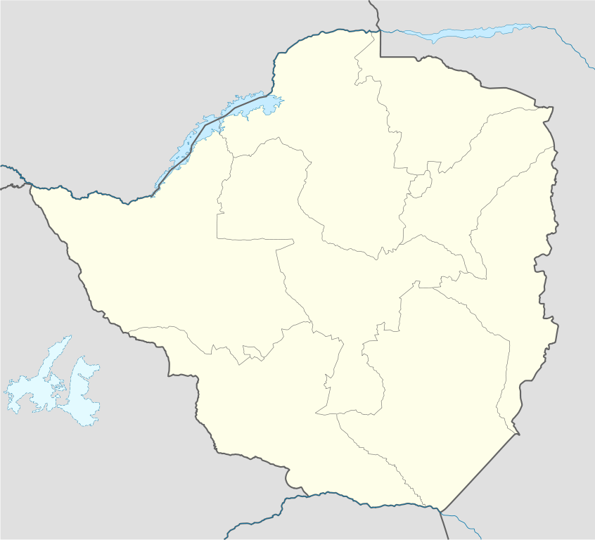
Deutsch: Positionskarte von Simbabwe
Quadratische Plattkarte, N-S-Streckung 105 %. Geographische Begrenzung der Karte:
English: Location map of Zimbabwe
Equirectangular projection, N/S stretching 105 %. Geographic limits of the map:
|
| Usuku | |
| Umthombo |
own work, using
|
| Umlobi | NordNordWest |
| Other versions |
|


|
This map has been made or improved in the German Kartenwerkstatt (Map Lab). You can propose maps to improve as well.
|
Licensing
I, the copyright holder of this work, hereby publish it under the following licenses:

|
Permission is granted to copy, distribute and/or modify this document under the terms of the GNU Free Documentation License, Version 1.2 or any later version published by the Free Software Foundation; with no Invariant Sections, no Front-Cover Texts, and no Back-Cover Texts. A copy of the license is included in the section entitled GNU Free Documentation License. |
This file is licensed under the Creative Commons Attribution-Share Alike 3.0 Unported license.
- Ukhululekile:
- ukwabelana – to copy, distribute and transmit the work
- to remix – to adapt the work
- Ngaphansi kwezimo ezilandelayo:
- attribution – You must give appropriate credit, provide a link to the license, and indicate if changes were made. You may do so in any reasonable manner, but not in any way that suggests the licensor endorses you or your use.
- yabelana ngokufana – If you remix, transform, or build upon the material, you must distribute your contributions under the same or compatible license as the original.
You may select the license of your choice.
Umlando womqulu
Click on a date/time to view the file as it appeared at that time.
| Usuku/Isikhathi | Isithonjana | Dimensions | Umsebenzisi | Amazwana | |
|---|---|---|---|---|---|
| Njengamanje | 17:49, 13 uNcwaba 2008 | | 832 × 755 (193 KB) | NordNordWest | {{Information |Description= {{de|Positionskarte von Simbabwe}} Quadratische Plattkarte, N-S-Streckung 105 %. Geographische Begrenzung der Karte: * N: 15.2° S * S: 22.8° S * W: 24.8° O * O: 33.6° O {{en|Location map of [[:en:Zimbabwe|Z |
Ukusetshenziswa komqulu
The following 90 pages use this file:
- Alaska, Zimbabwe
- Arcturus, Zimbabwe
- Banket, Zimbabwe
- Beatrice, Zimbabwe
- Beitbridge, Zimbabwe
- Bembezi
- Bikita District
- Bindura
- Bindura District
- Bromley, Zimbabwe
- Buhera
- Chegutu
- Chegutu District
- Chimanimani
- Chinhoyi
- Chipinge
- Chipinge District
- Chiredzi
- Chiredzi District
- Chitungwiza
- Chivhu
- Chivi District
- Colleen Bawn
- Dete, Zimbabwe
- Empress Mine Township, Zimbabwe
- Epworth, Zimbabwe
- Esigodini, Zimbabwe
- Filabusi
- Gokwe
- Goromonzi
- Guruve
- Guruve District
- Gwanda, Zimbabwe
- Gweru
- Hwange
- IHarare
- Insiza District
- Kadoma, Zimbabwe
- Kariba, Zimbabwe
- Karoi
- Karoi District
- Kotwa, Zimbabwe
- Kwekwe
- Lion's Den, Zimbabwe
- Magunje
- Marondera
- Marondera District
- Marula, Zimbabwe
- Mashava
- Masvingo
- Matetsi
- Mazowe
- Mazowe District
- Mbalabala
- Mhangura
- Mlibizi
- Mount Darwin, Zimbabwe
- Mount Darwin District
- Mupandawana
- Murewa
- Murombedzi
- Mutare
- Mutasa District
- Mutoko
- Mvurwi
- Mwami, Zimbabwe
- Nyanga, Zimbabwe
- Plumtree, Zimbabwe
- Redcliff, Zimbabwe
- Rusape
- Rushinga District
- Sango, Zimbabwe
- Sanyati, Zimbabwe
- Shamva
- Shamva District
- Shurugwi
- Silobela, Zimbabwe
- Triangle, Zimbabwe
- Tsholotsho District
- Umguza District
- Umzingwane District
- Victoria Falls, Zimbabwe
- Vubachikwe
- Vuti, Zimbabwe
- West Nicholson
- Zaka District
- Zhombe
- Zvimba District
- Zvishavane
- Template:Location map Zimbabwe
Ukusetshenziswa komqulu jikelele
Amanye ama-wiki asebenzisa lefayela
- Ukusetshenziswa ku-af.wikipedia.org
- Ukusetshenziswa ku-am.wikipedia.org
- Ukusetshenziswa ku-ar.wikipedia.org
- Ukusetshenziswa ku-az.wikipedia.org
- Ukusetshenziswa ku-ba.wikipedia.org
- Ukusetshenziswa ku-be-tarask.wikipedia.org
- Ukusetshenziswa ku-be.wikipedia.org
- Ukusetshenziswa ku-bg.wikipedia.org
- Ukusetshenziswa ku-bn.wikipedia.org
- Ukusetshenziswa ku-bs.wikipedia.org
- Ukusetshenziswa ku-ceb.wikipedia.org
View more global usage of this file.